
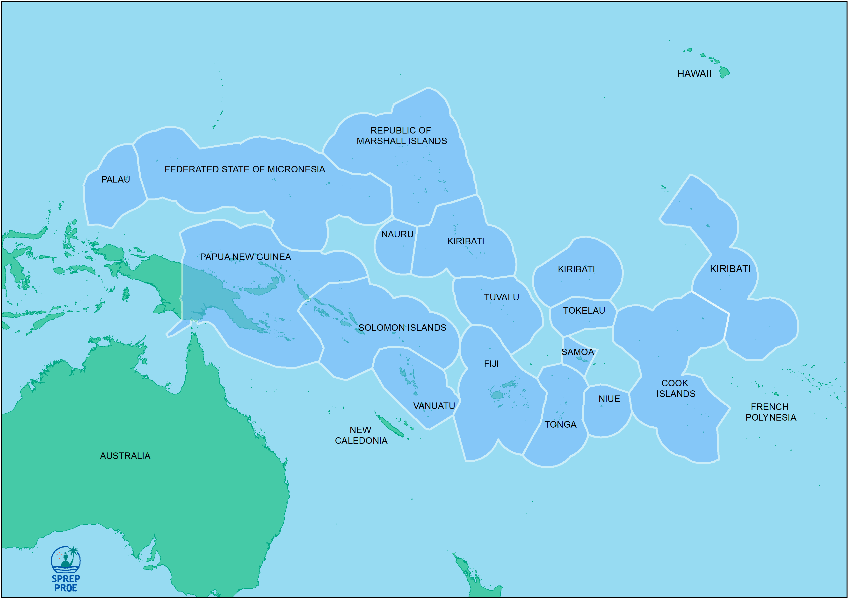
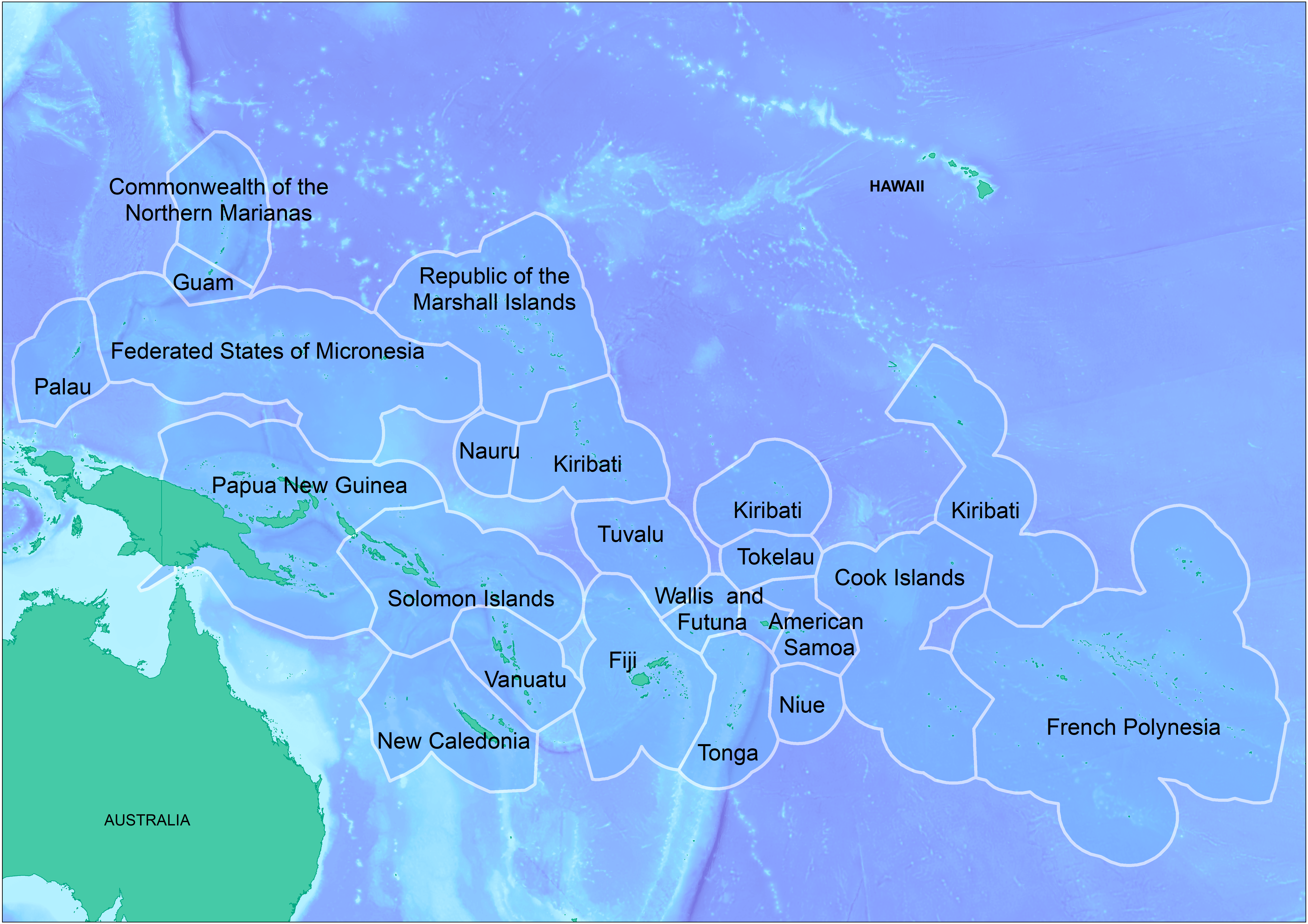
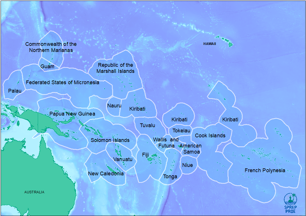
The SPREP ID map is a high resolution (1MB)…
The dataset contains a range of different Pacific regional maps developed by the SPREP GIS team and is available for use by members and partners.
Data and Resource
| Field | Value |
|---|---|
| Publisher | Secretariat of the Pacific Regional Environment Programme |
| Modified | |
| Release Date | |
| Source URL | https://pacific-data.sprep.org/dataset/sprep-maps |
| Identifier | 3be56a4c-601d-438d-8ca8-6067976ba92b |
| Spatial / Geographical Coverage Location | Pacific Region |
| Relevant Countries | Pacific Region |
| Language | English (Australia) |
| License |
SPREP Public Licence
![[Open Data]](https://assets.okfn.org/images/ok_buttons/od_80x15_blue.png)
|
| Contact Name | SPREP |
| Contact Email | [email protected] |
| POD Theme | Land, Coastal and Marine, Biodiversity, Atmosphere and Climate |